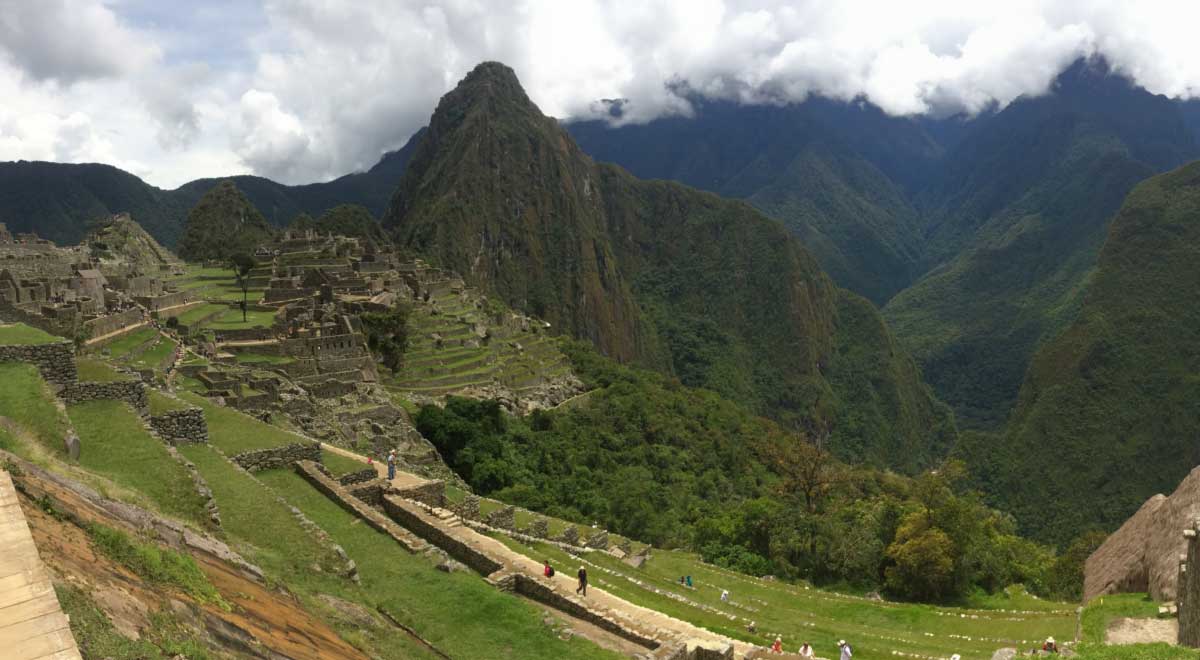
Using a drone laser scan, the researchers found the remains of buildings in the temple complex and part of a system of canals through which water comes from a nearby river in an area covered with dense vegetation.
Several years ago, in collaboration with the management of Machu Picchu Park, Polish scientists began research at the Chachabamba Inca Ceremonial Complex in the Machu Picchu National Archaeological Park (Peru). This assumption was valid in the early 15th century.
Modern methods
Most of the area is covered with rainforest, so research is very difficult. For this reason, archaeologists decided to use a drone to which a laser scanning device (LiDAR) was attached. This scan allows you to remove trees or shrubs from the resulting image and visualize the terrain. They were created by a team led by Dr. F. Bartlomej Smielewski from the Laboratory of 3D Scanning and Modeling, Faculty of Architecture, Wroclaw University of Technology.
“Thanks to this, we were able to identify a number of unknown structures on the site,” said Dominika Seczkowska of the Andean Research Center at the University of Warsaw, which is implementing a National Science Center project to study the Khachabamba water system. This is one of the initiatives of Polish researchers in the Machu Picchu area under the leadership of Prof. Mariusz Zilkowski from the University of Warsaw.
The drone used in the new study is a powerful octocopter weighing almost 10 kg. In turn, laser scanning equipment (LiDAR) weighs about 2 kg.
Temple complex
The central part of the ceremonial complex was a large boulder with carved altars, stairs and a ditch through which dripped liquid that settled on it, possibly drinks or animal blood. In front of the boulder was a small area with buildings on the sides, which were surrounded by a dozen or so small ritual baths, which archaeologists called fountains. These were tanks into which water flowed down the walls. They were used for ritual ablutions.
In recent studies, using laser scanning, scientists have also discovered previously unknown parts of the canals through which water came from a nearby river. Water was supplied to the ceremonial complex in Chachabamba through a sewer system made of stone blocks, which was partially underground. After passing through the ceremonial center thanks to a similar drainage system, this water fell into the river in the valley.
The buildings that the researchers paid attention to were located on the outskirts of the ceremonial complex.
– Only about a dozen small buildings built on circular and rectangular plans. We assume that they were inhabited by people who serve the complex. We will get more information when the excavations are successfully completed. However, this is prevented by the coronavirus pandemic, – said Sechkovskaya. However, the researchers concluded on the basis of laser images that these buildings were built much less carefully than the buildings in the central part of the station.
According to Sechkovskaya, there are signs that the complex was mainly cared for by women. This is evidenced by objects found during previous excavations conducted at this site by the Polish-Peruvian team. They are associated with weaving, and this craft in the Inca state was practiced by women.
Ritual water
The scientists also used laser scanning data to build a hydrodynamic model of the channels through which water enters fountains. This means that virtually, taking into account, among other things, the slope of the terrain and the depth of the canals, researchers “poured” water into the canals and reconstructed how it flowed in them.
– Thanks to this, we were able to determine that the water supplied by the canals was not used for economic purposes, but was symbolic, because the canals could not supply it anymore – it flowed out of them. for they are not deep. This confirmed our hypothesis that water played a ritual role in Chahabamba, Sechkovskaya stressed. She added that, as a rule, for practical purposes, similar tests were conducted in other places – cleaning collectors and pouring water from them.
Effective hydrodynamic model
– But it took a lot of money and a lot of time. We conducted the scan in just a few days, she said.
According to the researcher, the developed hydrodynamic model can be successfully used in other parts of the Andes, but with small changes in parameters is possible in other parts of the world. This model was developed by hydrologists and surveyors from the University of Natural Sciences in Wrocław – Paul Dombek, Krzysztof Wolski and Isabela Wilczynska. On the other hand, the director of Machu Picchu Park, Jose M. Bastante, provided logistical assistance during the study.
Machu Picchu National Park covers more than 36,000 people. ha. It includes about 60 archaeological sites, many of which have not yet been explored due to inaccessibility and dense vegetation.

