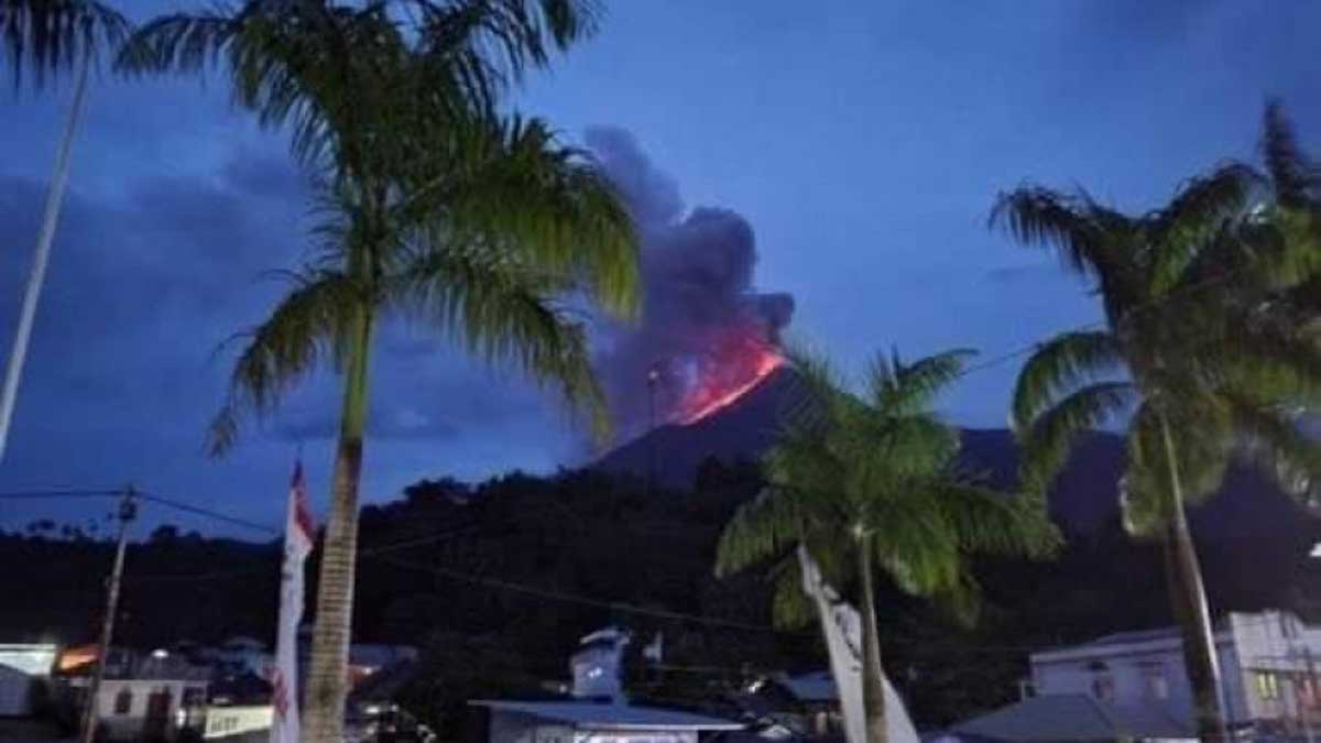
A volcano erupted on one of the Indonesian islands, ANTARA reports, citing the National Center for Mitigation of the Consequences of Volcanological and Geological Hazards.
According to the publication, we are talking about the island of Siau, where the Karangetang volcano is located.
“Expecting a potential danger, it is not recommended to carry out work within a radius of 2.5 kilometers from the crater of the Karangetang volcano,” the source writes. “There is a possibility of flooding with lava, so residents of nearby villages began to be evacuated.”
The lava flow, which is spreading rapidly, has now reached a length of one kilometer.
“Lava got into six rivers: Batang, Timbelang, Beha Barat, Nanitu, Batuawang, and Kakhetang. They originate at an altitude of 1,784 meters. Because the slope of the mountain is quite steep, the lava descends quickly,” seismologists noted.
It is known that there are only four kilometers between the center of the volcano and the beach, and footage of the eruption has already appeared on the network.
The danger class of the mountain has been raised from the second to the third, and 73 residents have been evacuated from nearby villages. There are no reports of casualties or damage yet.
Indonesia holds the world record for the number and activity of volcanoes, part of the so-called Pacific Ring of Fire.

